
Komarów
This battlefield was always top of my list of things to see in Poland. Fortunately being near where we were staying in the pretty town of Zamość, it wasn't awkward to drive to.
Background
This is an extremely famous battle where the Polish cavalry met the Soviet cavalry in 1920 and won (in the few previous meetings it had not gone so well for the Polish cavalry). It is also one of the last times that cavalry fought in such large numbers on a European battlefield.
My version of the battle is here, along with maps and troop lists.
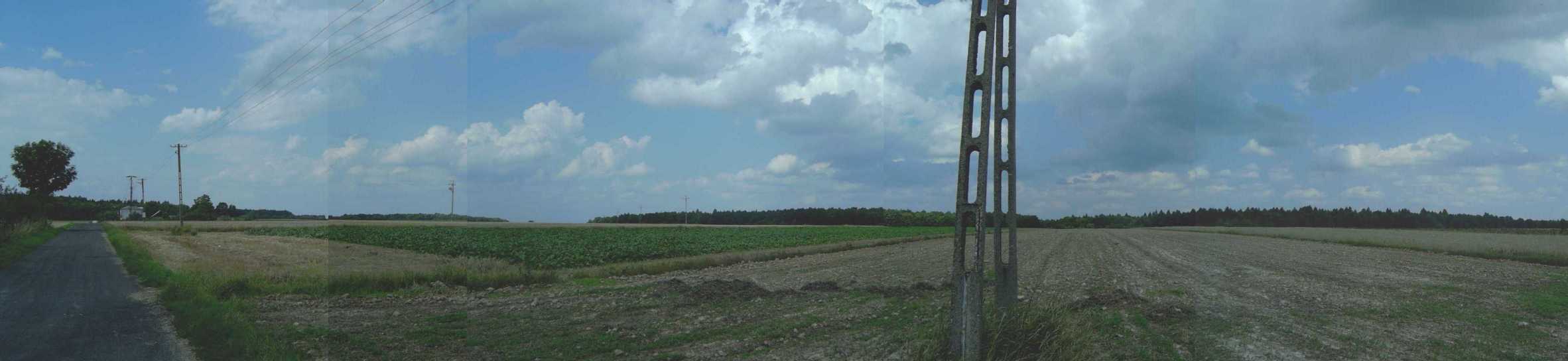
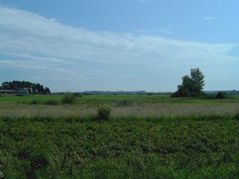
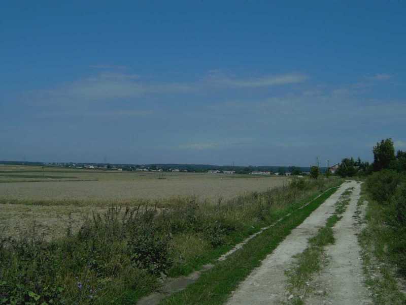
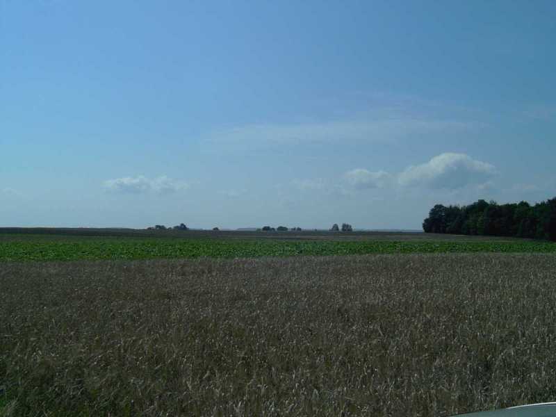
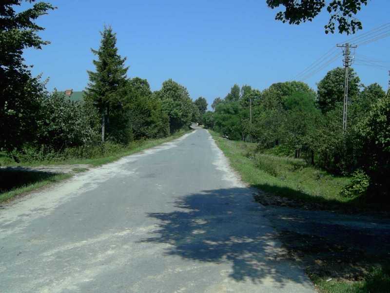
A stitched together panorama of the scene of the last fighting of the day. This is taken from the northern end of Brodek village. The road heads WNW and the forest at its end is where Budënny's cavalry made its charge from (as described by Babel in his Red Cavalry stories). The Polish cavalry met them somewhere in the middle of the picture (which is looking north) in front of the forest. The picture ends facing ENE.
Our route and my impressions
We drove out of Zamość on the main road towards Hrubieszów down the main axis of Budënny's attack (and retreat). Although his fighting men were not hindered by the gentle hills on either side, his supply was naturally constrained to the rail line and main road. I was surprised how flat it was along the main road, because I had understood that this part of Poland was hilly.
From there we cut north to Cześniki, crossing a very gentle, but big, rise to do so.
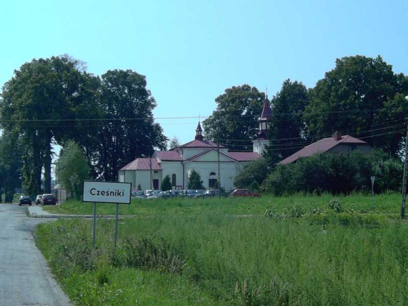
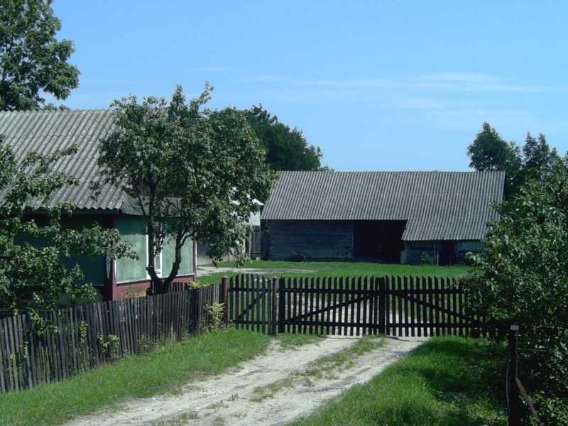
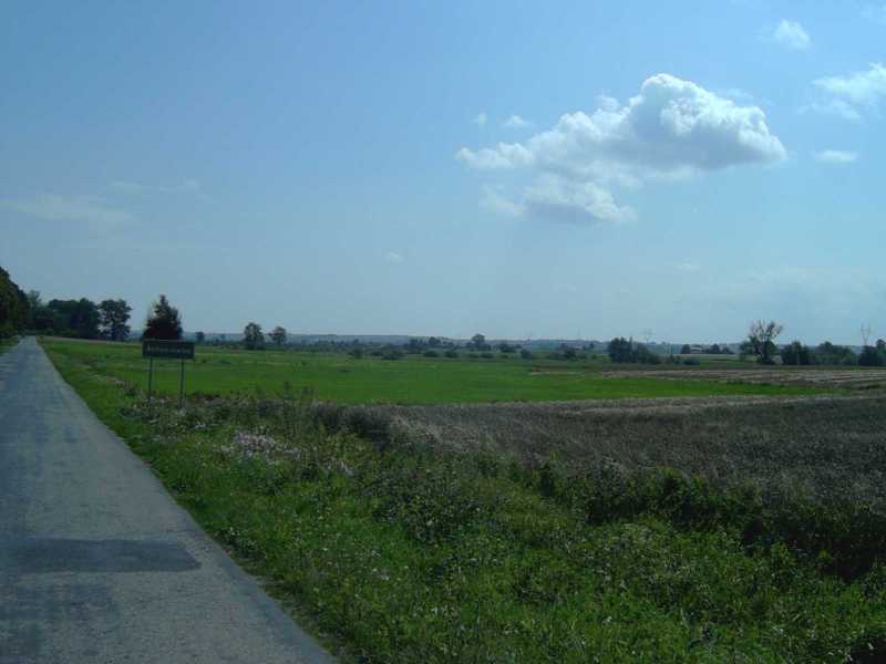
Cześniki is a fairly standard agricultural village for eastern Poland. The road itself is narrow, but there were wide grass verges on both sides. Most property consisted of a dwelling, small if old but bigger if new, with a few agricultural buildings behind. Virtually every property was surrounded by a fence. Cześniki did differ from the other villages in the area in that it wasn't just a thin ribbon along a road, but actually has a couple of side roads. Komarów was the only other one to have this: these are clearly the main centres of the area, each having a substantial church.
From Cześniki's southern edge I could see up to the long gentle rise above the town. "Hill" I suppose you could call it, if you were being generous. From my reading I had had the impression that the Poles should have been able to dominate the village below by gaining that position in the early afternoon. Now I could see why it hadn't seemed so good to them: the very gentle nature of the slope meant that it didn't really give a tremendously good view, nor did it provide any sort of obstacle to any attackers.
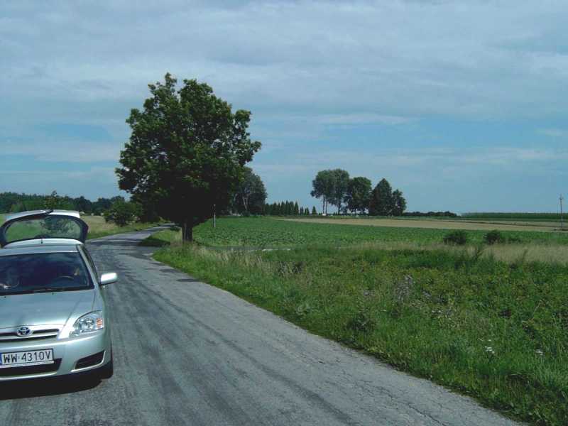
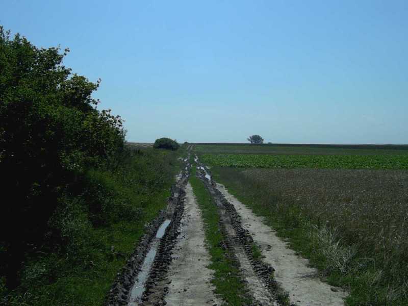
At this point I blundered. I wanted to take the road that led from Cześniki past the forest from which the Konnarmiya had charged later in the day. When I say "road" I mean dirt track, and of course they weren't signposted. So we ended up taking one parallel to that intended.
And when I say "dirt track" I should add that a section of it was, in fact, mud. The day itself was fine but it had rained quite heavily the day before. I could see that the initial section of the track was perfectly drivable, and in my ignorance I assumed that the high ground would be drier than the low ground.But it wasn't, and when we hit some tractor ruts that still had water in them we got stuck. I was initially a teeny bit worried that I was going to have to go and find some local to drag me out, which was going to take ages and ruin my day. However, it was eventually a fairly simple matter of getting out and pushing the car through the worst bits. Simple, but dirty, of course.
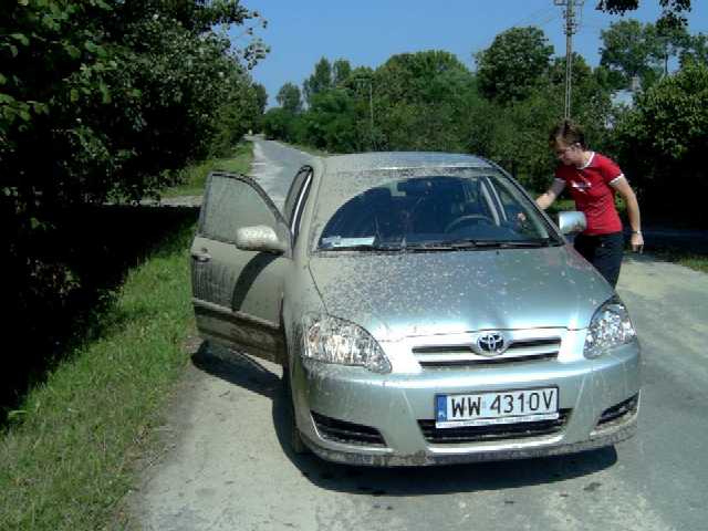
My wife getting into the car without getting mud on herself.
This impressed on me how difficult the going must have been in 1920, because the battle was fought in very wet conditions. Both sides found the going very difficult, and were exhausted by the end of the day, which explains the Poles inability to follow up the retreating Soviets.
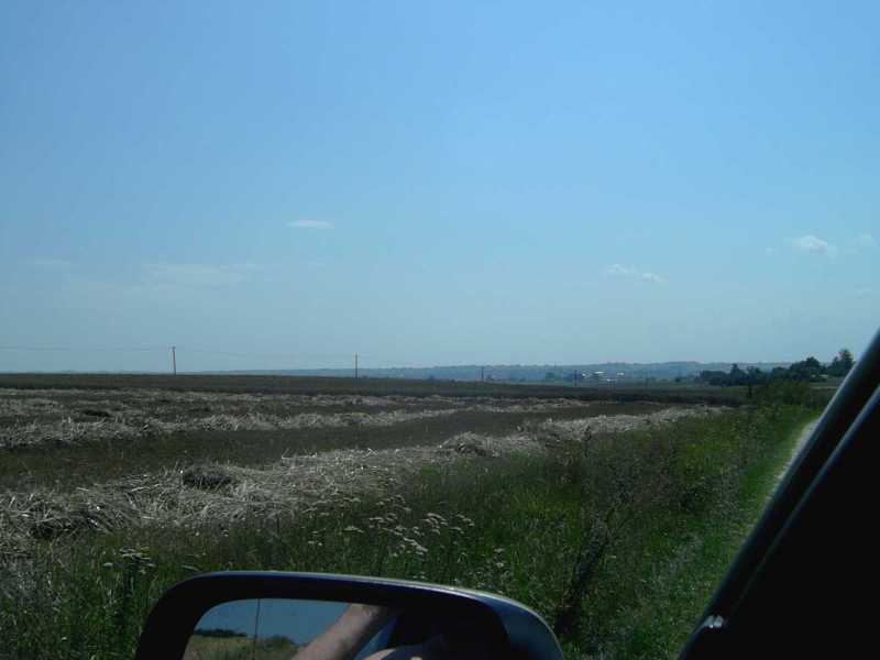
Eventually we made it over the crest and into the village of Wolica Śniatycka. From there we drove curved round to the east and entered Komarów town from that side. This took us through the low-lying land marked on the maps as boggy, though I wasn't in any mood to get out and check it out in person. There were ditches in these low lying bits, but not many, and mostly not very deep.
Some versions of the battle have a Soviet charge coming unstuck because they hit a boggy patch just north of Wolica Śniatycka, and I could see how that could have happened. Given a careful look, the wetter bits were potentially distinguishable: the grass was vaguely rougher and they had bits of scrub on them. However, it would be very easy to blunder into it, if you didn't have time to check it out first.
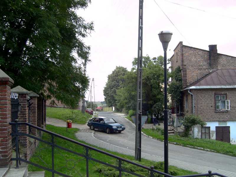
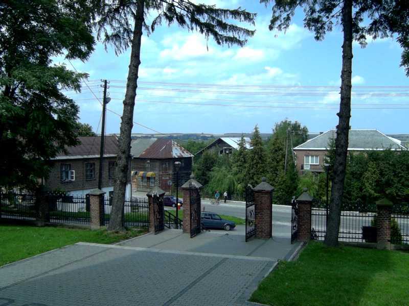
Komarów is on a genuine hill, the edge of the hilly bits further south. Although not a big place, it had a market place and a few urban-style buildings packed side-by-side, rather than just being a collection of farms.
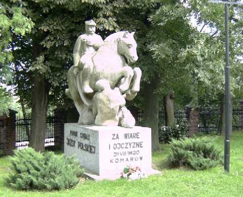
The churchyard had a memorial to the 1920 battle, and inside a couple of paintings of the Polish-Soviet war. Perhaps these are new, perhaps they had just spent time under whitewash, as I can'tsee the Soviets letting them stay up. The one by the entrance appeared to have damage, which would suggest it was not new. There were also memorial plaques in the entrance for soldiers (it seemed normal for churches to have plaques to soldiers or units in the entrance area).
From there we drove north to Brodek to correct my mistake earlier in the day when I had taken the wrong track and thereby we arrived just south of where the final action of the day took place. To the north-west was where the Soviet cavalry assembled before charging across at the Poles, who had been just north of where I stood, with a few others to the north-east.
My conclusion is that almost all of the day's actions could be gamed on a flat tabletop, for all the difference the slopes would have made. Much more important for accuracy would be to get the boggy areas and forests right.
The photographs
I took loads of photos. I have had to compress them a lot so as to fit them on the site, but I'm happy to send the originals if anyone wants.
Explanation of Photographs
C02a: the view from just north of Cześniki (Miasteczko) with its church. Note how the area has only the very gentlest of roll.
C02b Photo from the same spot as above, but looking east. This is apparently one of the boggy bits.
Same spot, now looking North.
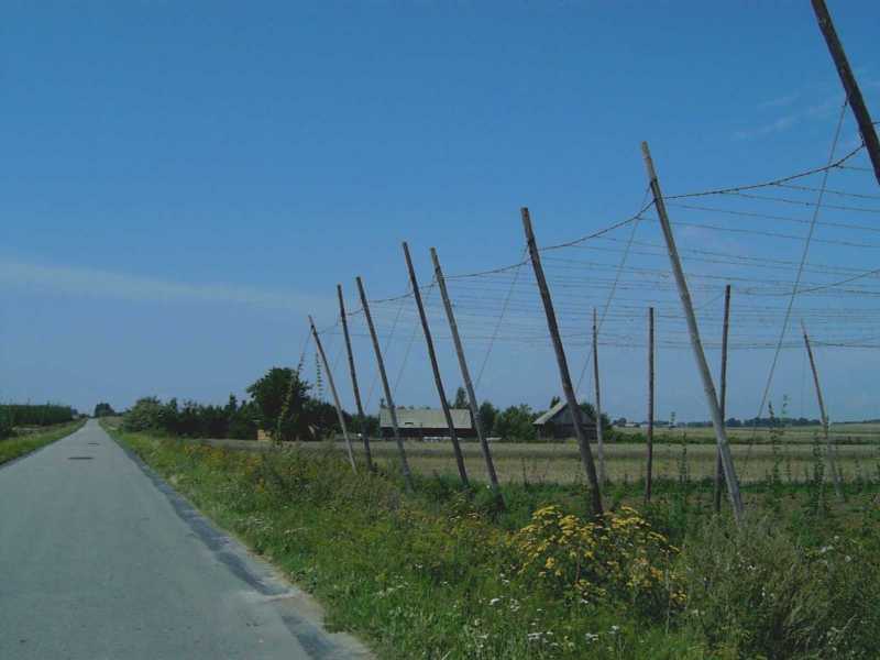
C03a: Cześniki village. Wide verges; lots of trees; lots of agricultural buildings behind small dwellings.
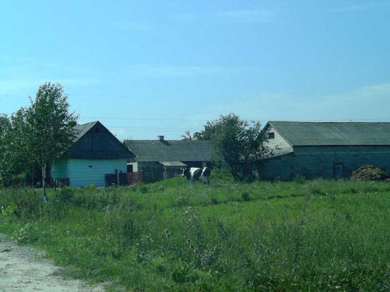
C03b: Cześniki village farm.
C04a: this is from the eastern outskirts of Cześniki, looking west.
C04b: this is from the eastern outskirts of Cześniki, looking south.
C04c: this is from the eastern outskirts of Cześniki, looking at the "hill" above the town.
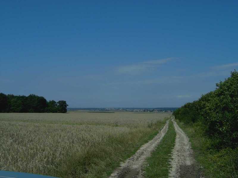
C05a: this is from the southern outskirts of Cześniki, having just cleared Cześniki-Kol. It looks up towards the crest where the main action of the day took place.
C05b: Southern outskirts of Cześniki, looks down at the village (the brick house on the right is closer, since it is part of the new Kol, not the old village).
C05c: Southern outskirts of Cześniki, looking west.
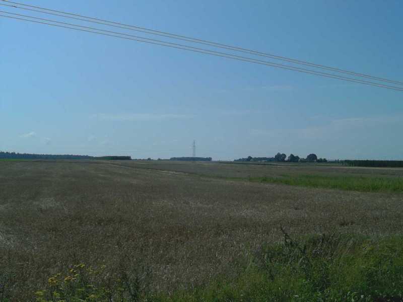
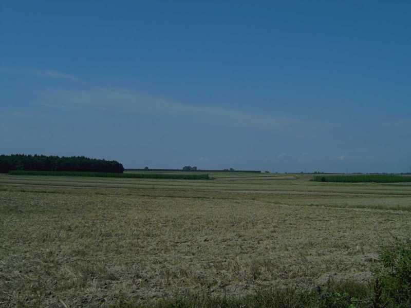
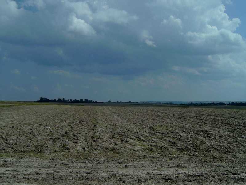
C06a: further on up the same road, near to the top of the rise, in the gap between the woods where the main charge took place. The photo shows Cześniki; and just how flat the valley from Zamość to Hrubieszów is.
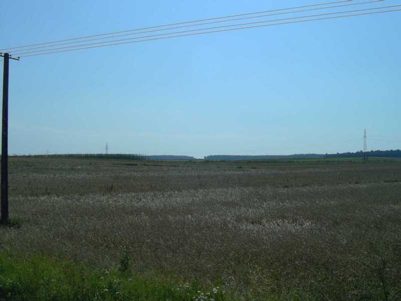
C06b: again near to the top of the rise, looking west. The Soviet cavalry came out of those trees, across the ground at the Poles.
C06c: again near to the top of the rise, looking north-west (so just to the left of the previous picture).
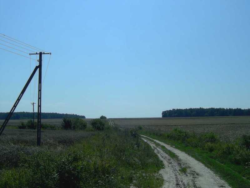
C06d: on the top of the crest, showing just how gentle it is. Note how muddy the road was despite it not having rained that day, nor particularly heavily at all.
C07a: now over the crest and looking SSE.
C07b: and just to the left of the previous picture, looking SSW.
C09a: inside Wolica Śniatycka. Like Cześniki, this was more a collection of farms than a tight village.
C09b: Wolica Śniatycka farm. Note the low fence.
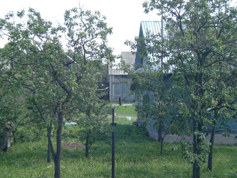
C09c: Wolica Śniatycka farm. Quite a few had small orchards.
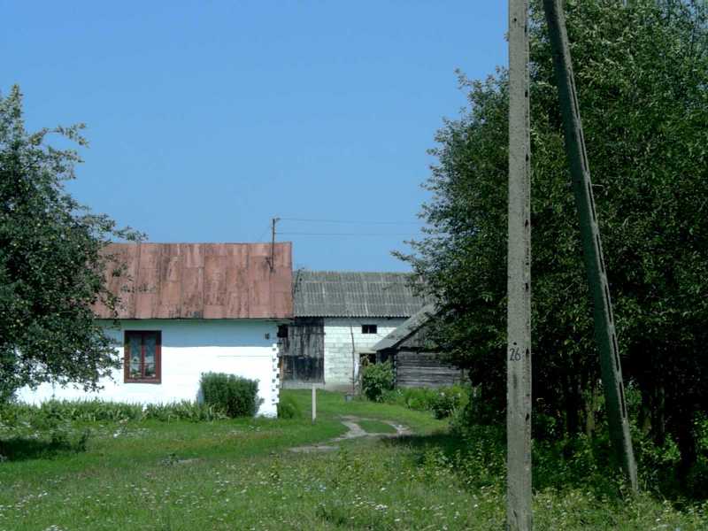
C09d: Wolica Śniatycka farm, with traditional log buildings, white when the house and unpainted for barn on the right.
C10: This picture was taken just as we were leaving Wolica Śniatycka (hence the sign reads Antionowka), facing SE. The ground there is quite boggy and the increase in shrubs and isolated trees is a good indication that the ground is marginal agriculturally, as there were no shrubs in most of the fields in the area.
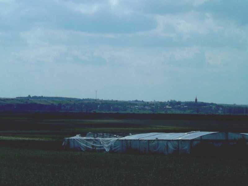
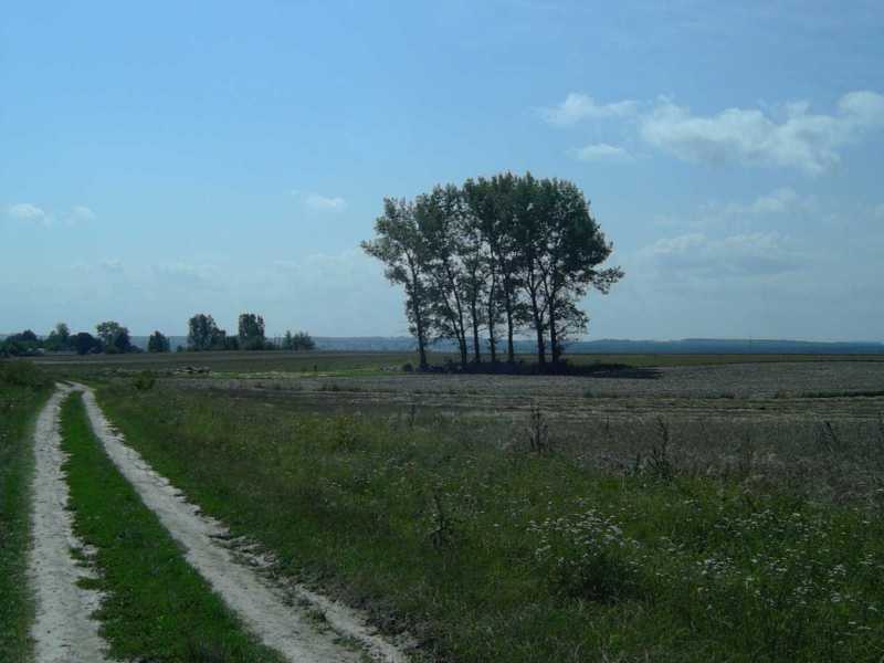
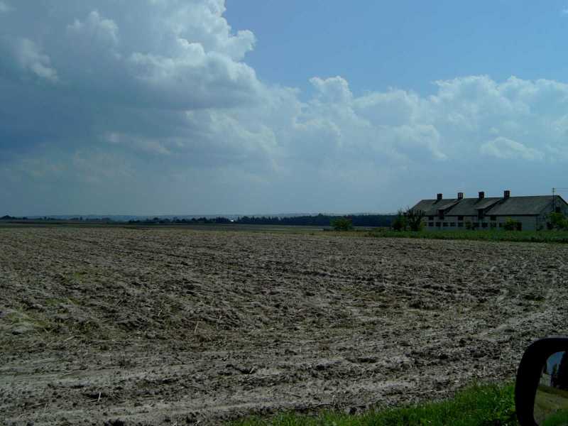
C11: this is a bit further east of the previous ones (after passing through Śniatycze) and show how the ground in front of Komarów is very flat (indeed boggy as a result) but that Komarów is on the edge of a real hill: the only one we saw that day. The steeple is that of Komarów church. The ridge runs to the south (left) for a long way.
C12a: the view from in front of Komarów church, showing how that village actually has a semi-urban core.
C12b: From in front of Komarów church. You can see the rise above Cześniki on the horizon.
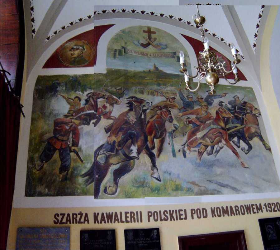
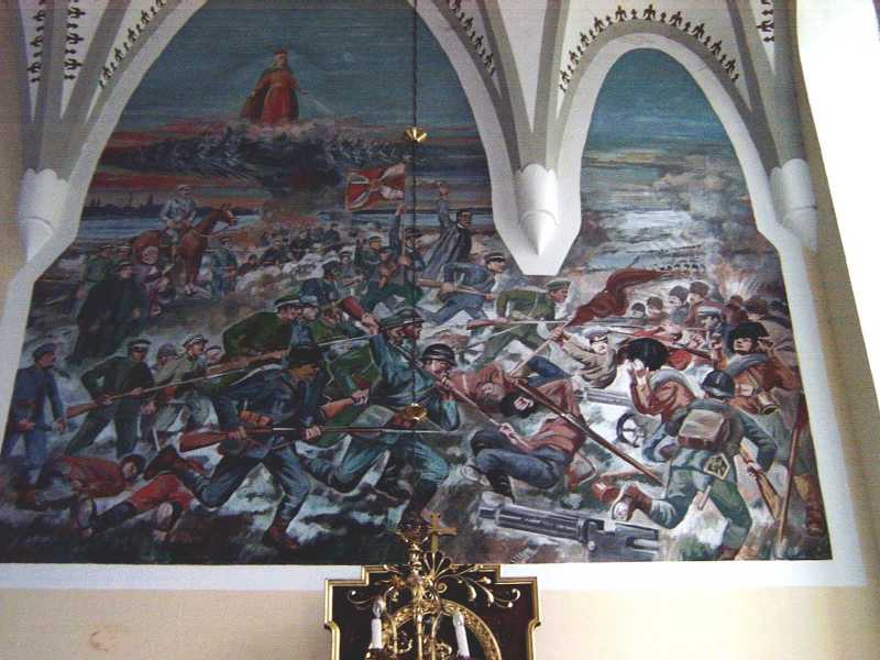
C13: Inside the church were two paintings of the fighting (note the top one is stitched from two photos, as it was in the entrance way and I couldn't get further back).
C15: looking east from the middle of Brodek. The clump of trees to the left is presumably modern Kol. Wolica, and "height" 255 is beyond it: as you can see there's not much of a height (though it does slope down from there to the boggy bits further east).
Same spot, to the right. The house is in Brodek. The fields look pretty muddy.